Nga Paataka
Our Investments
The Trust asset holdings
Our land and operations span several key locations across our Rohe, each contributing to our shared kaupapa and growth. At Omokoroa, the Kiwifruit Orchard showcases our commitment to sustainable horticulture. Mamakumaru is home to our Dairy Farm and Whenua, where we balance productivity with guardianship of the land. In Tamahere, our Whenua represents both heritage and opportunity for future development. Across Tamahere, Mamakumaru, and Omokoroa, we’re also progressing housing initiatives that strengthen our connection to people and place.
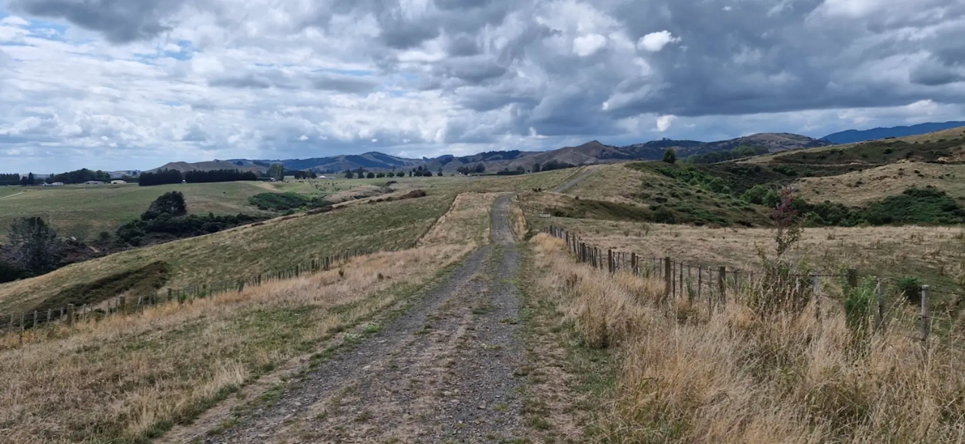
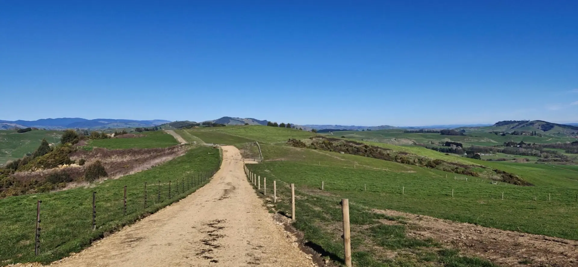
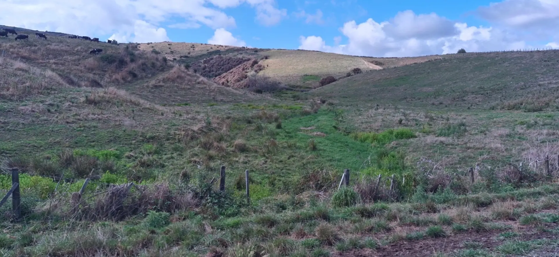
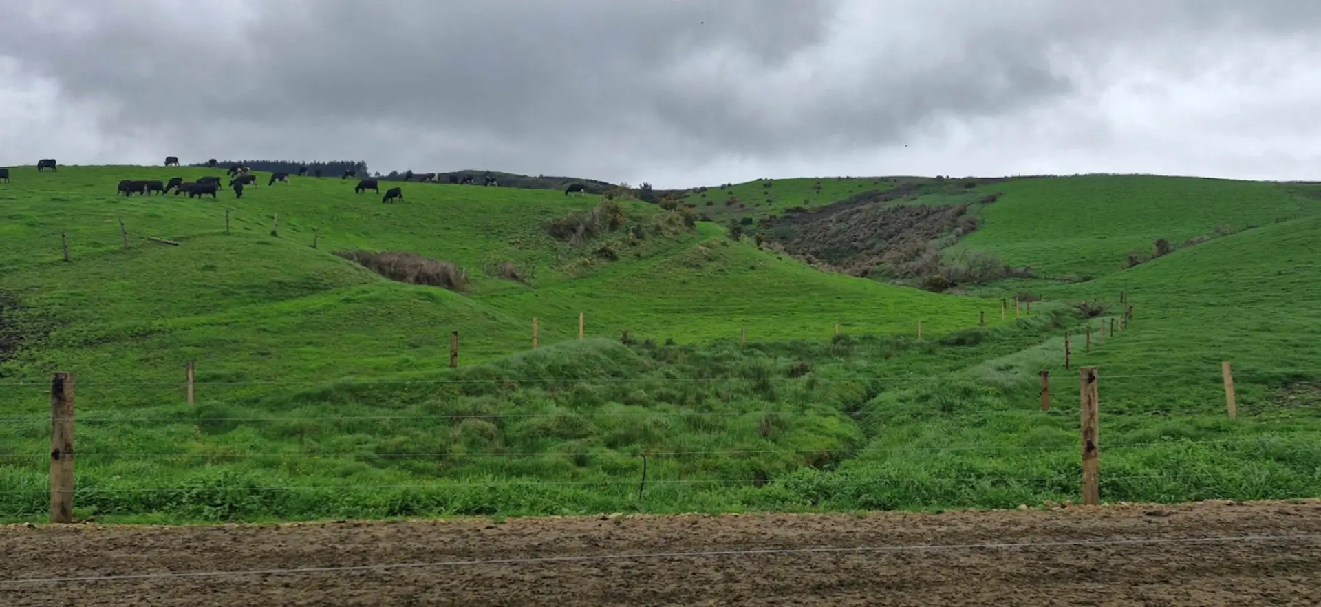
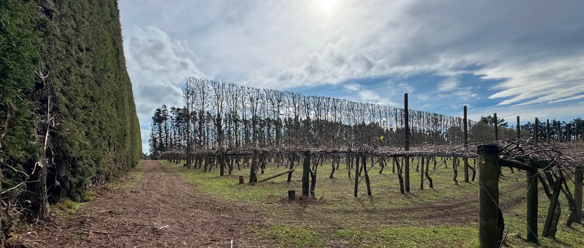
Mamakumaru
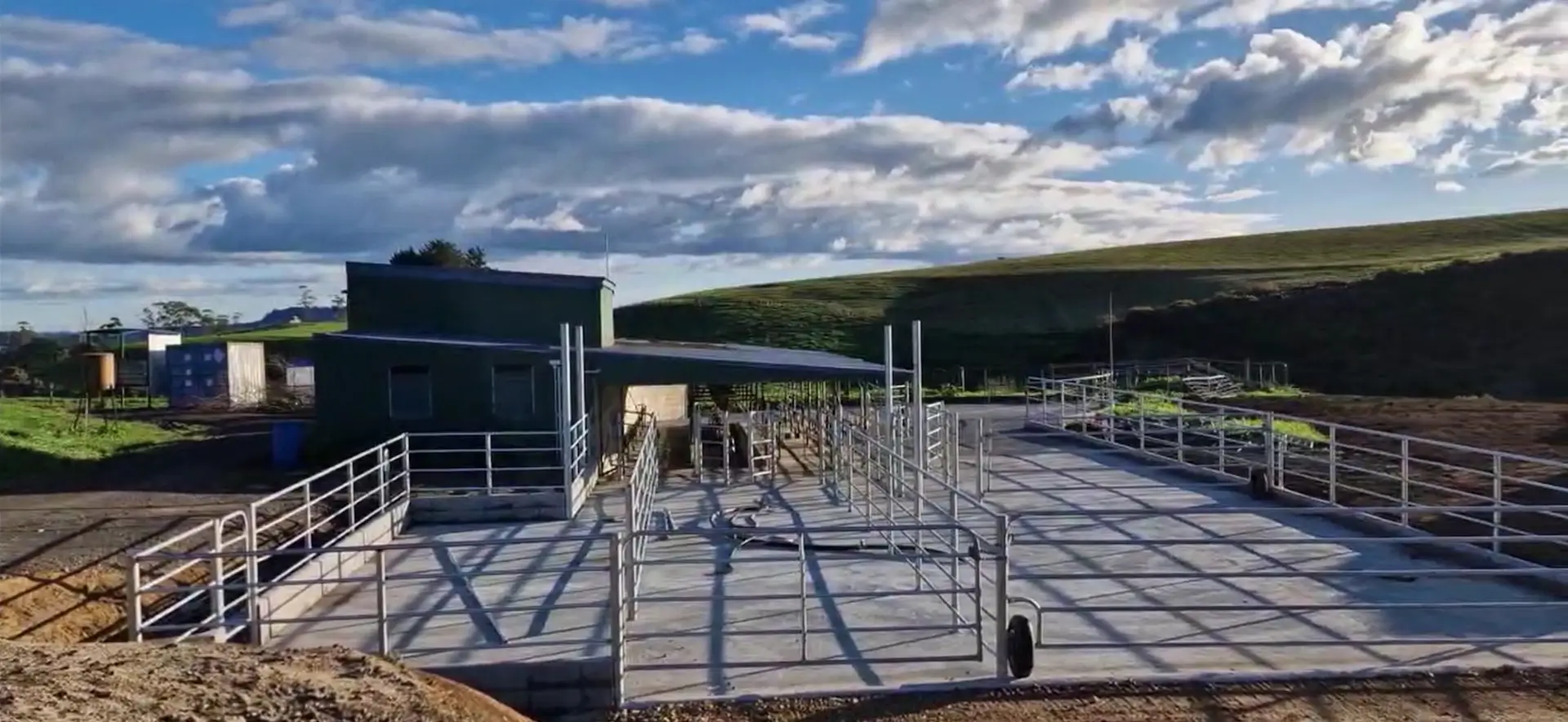
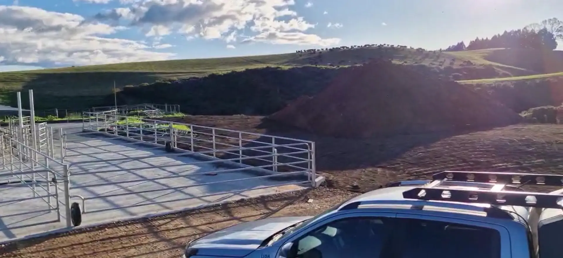
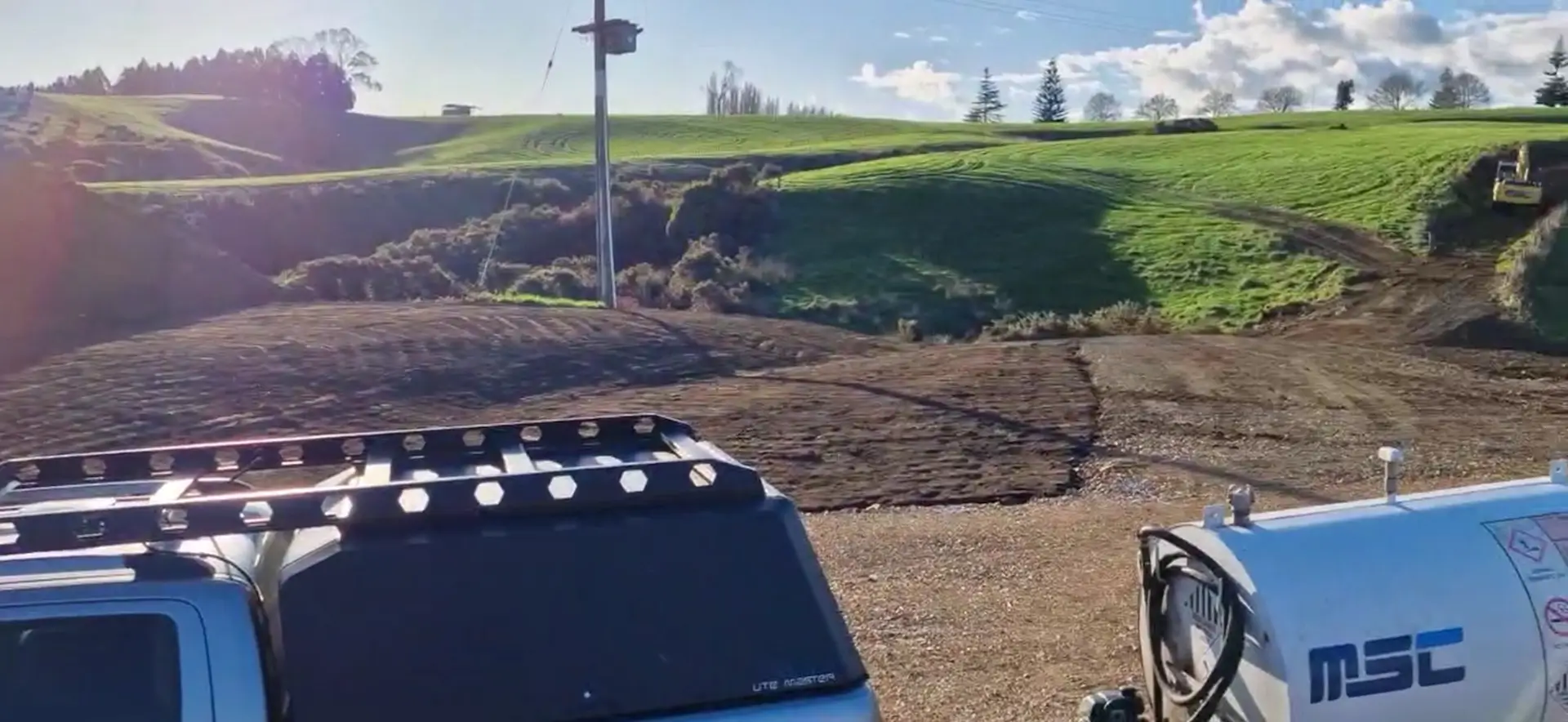
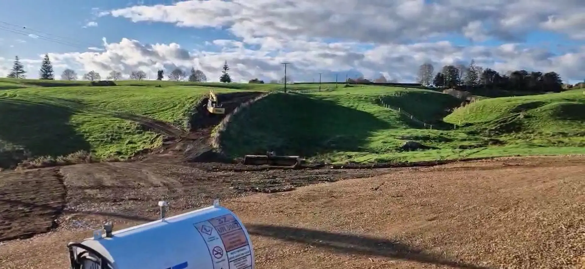
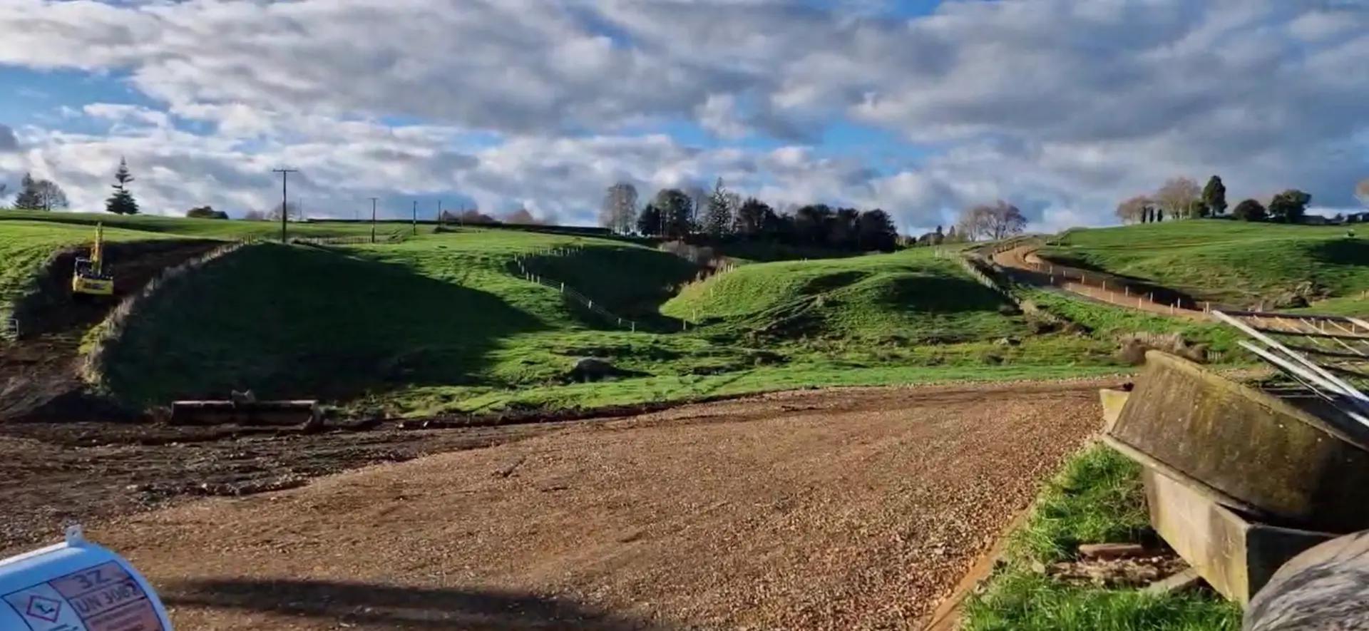
Dairy Farm and Whenua
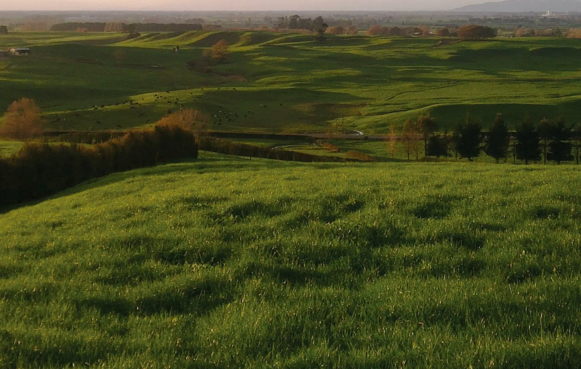
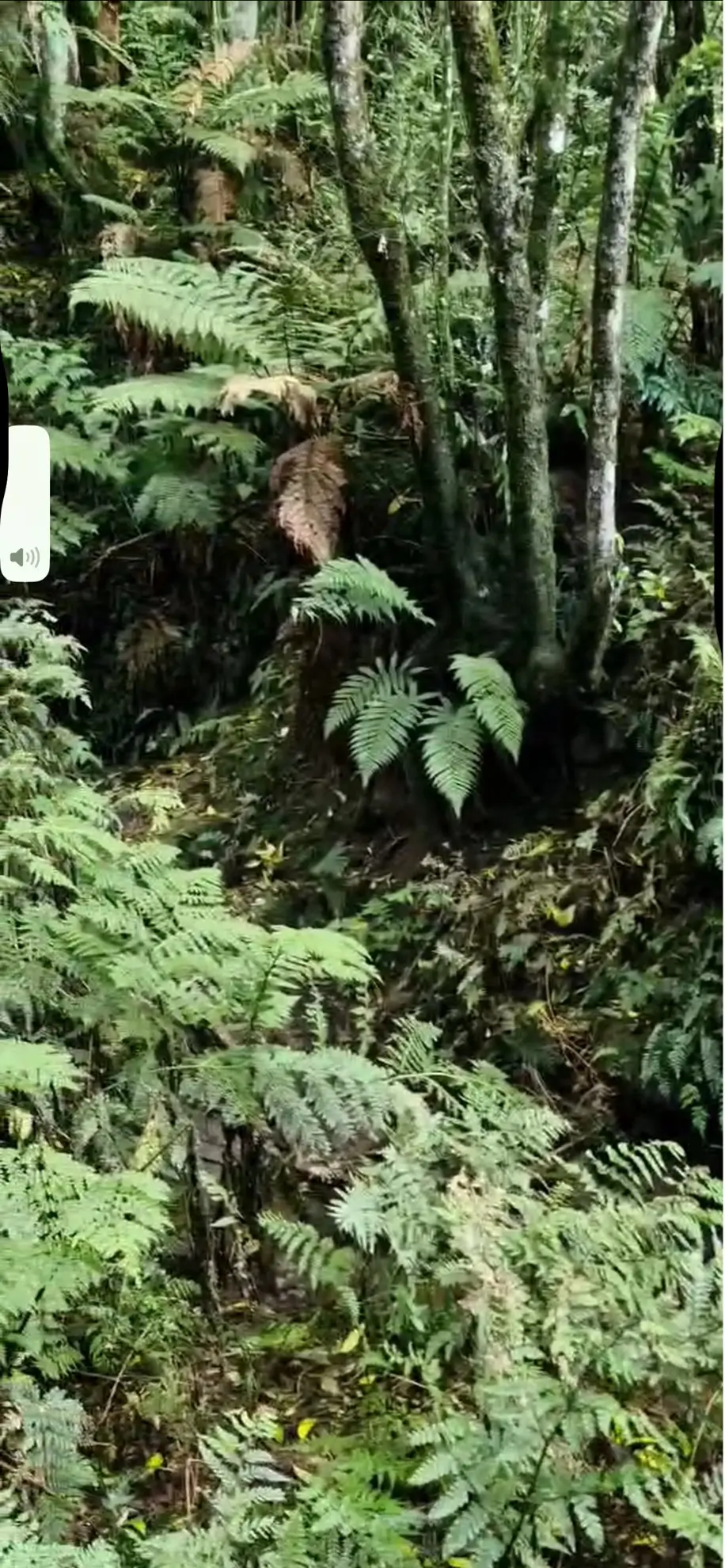
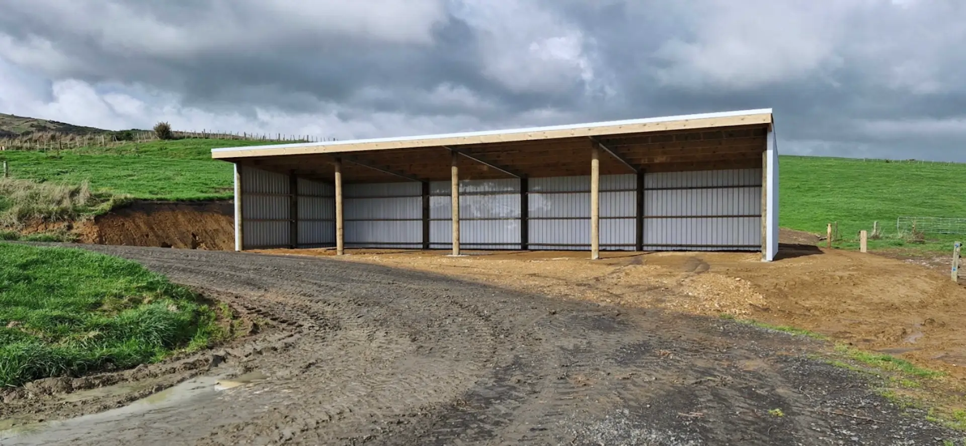
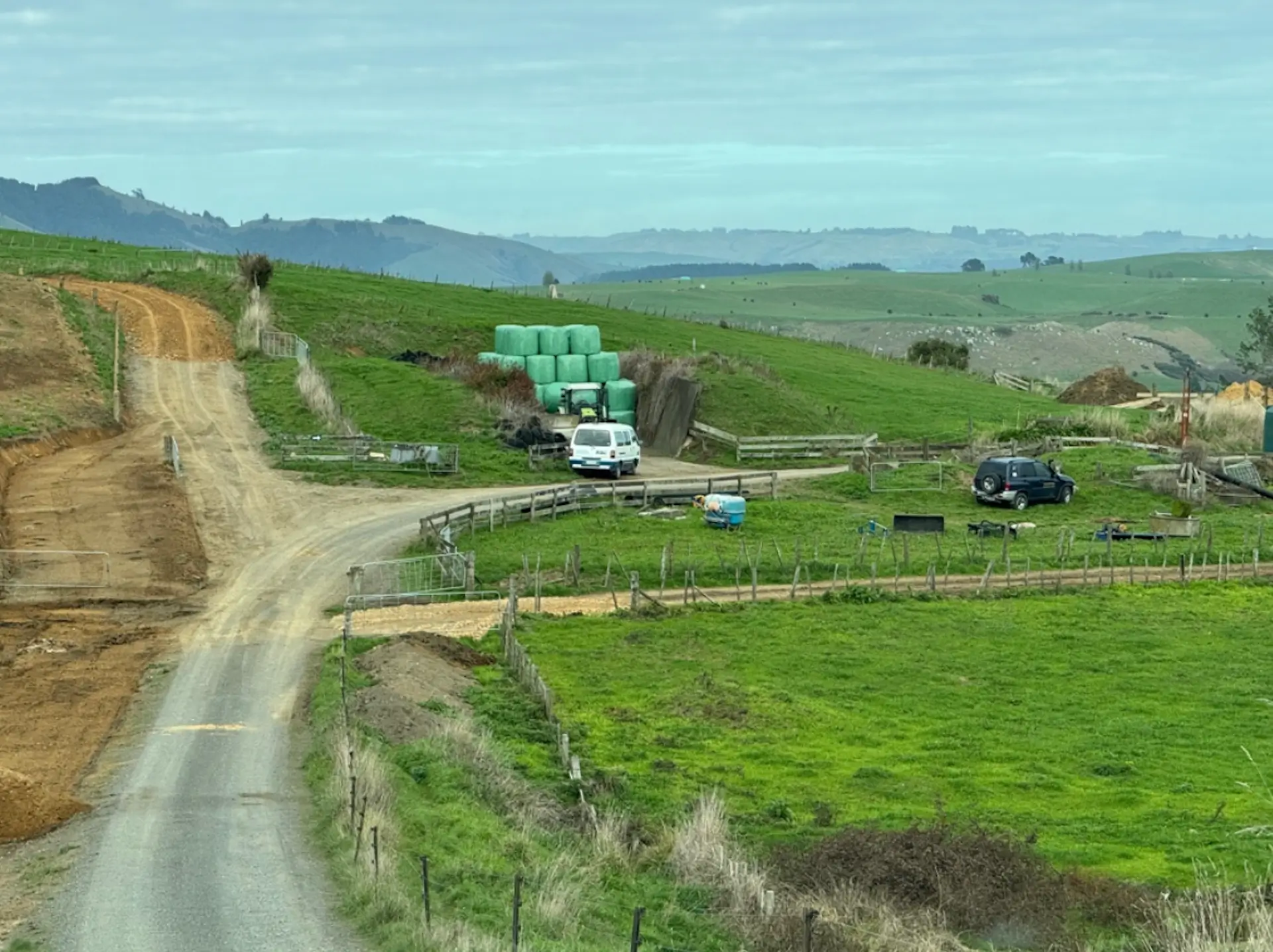
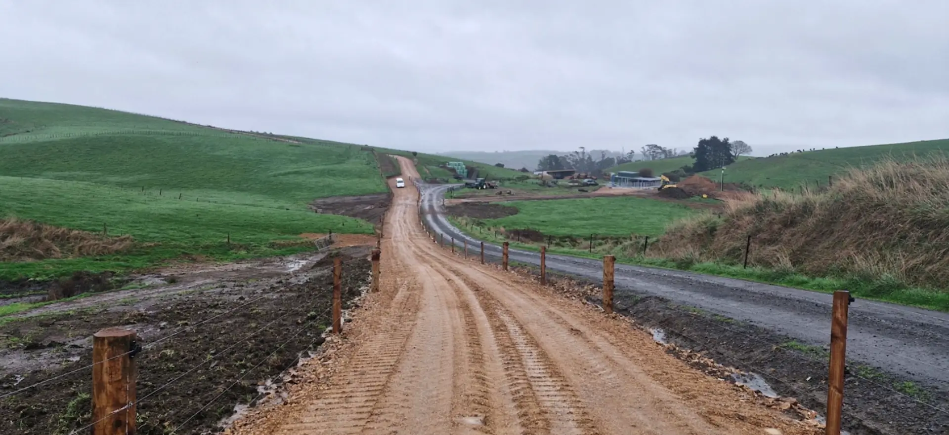
The property comprises a medium scale dairy and beef grazing unit of 535.59ha contained within two land titles being of a mixture of land contours including easy undulating, moderate and steeper contoured land with a large portion of waste, bush and gullies. Approximately 313ha comprises retired land to remain in native bush/rejuvenation.
- Focus on core infrastructure and pastures – grass production key. Gorse takes time.
- Focus on South Side – stage one complete by December 2025. More land available than planned for milking (some OAD).
- North Side focus starting earlier – grazing and dairy support.
- Opportunity for other consideration of land use on retired areas – environmental benefits to having this retired.
The property is operating a dairy farming system. The dairy farm currently supplies Fonterra. Jim and Lizzie Tauroa were appointed as share-milkers, bringing renewed energy and expertise to the station.
The farmhand’s cottage at Mamakumaru was upgraded to improve accommodation standards.

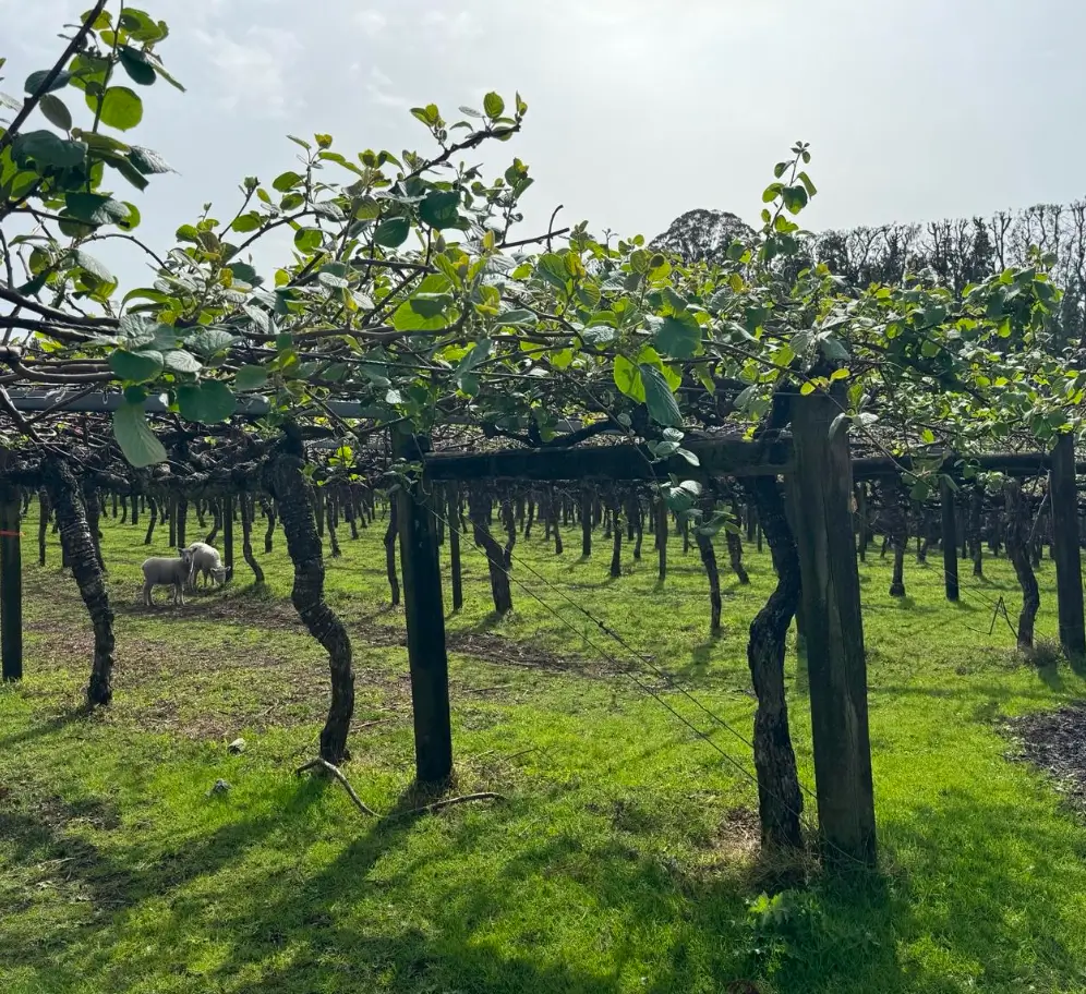
Omokoroa
Kiwifruit Orchard
Allotment 56 Parish of Te Puna at 150 Prole Rd, Omokoroa (“the whenua”) is whenua tuku – gifted land. It was given by Tauranga Moana Iwi in the late 1860’s in recognition and acknowledgement of the support that Wiremu Tamehana and Ngaati Hauaa gave to Tauranga Moana at Pukehinahina. For Ngaati Hauaa the whenua is a symbol of those important relationships, a living reminder of the shared history with Tauranga Moana Iwi, and a door through which a mutually beneficial partnership can be developed between Ngaati Hauaa and the Western Bay of Plenty District Council (“the Council”). The Ngaati Hauaa Tribal Trust (“the Trust”) now hold the whenua as kaitiaki for Ngaati Hauaa iwi.
The property is a kiwifruit orchard situated 5 kilometres south west of Ōmokoroa in the Western Bay of Plenty District. The property has a legal area of 14.1387 hectares and a total canopy area of 5.47 hectares with 4.93 canopy hectares in Green variety and 0.54 canopy hectares in SunGold.
Buildings include a 1970’s, three bedroom house with a recent kitchen and bathroom, an implement shed with a Lean Too, a standalone double garage, and a contour barn.
The orchard is managed by Seeka.

Tamahere
Whenua
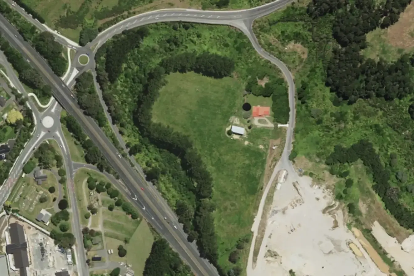
34 Tauwhare Road, Tamahere
The property comprises a 4.9958ha land parcel with improvements including a 1980’s era 303m2 two-storey dwelling. The property include a 4-bay gable implement shed with the balance land used to create supplement feed. The property borders Tauwhare Road, State Highway 1 to the west and Winstone Aggregates sand mine to the southeast. The property is located in the Tamahere locality of the Waikato District.
The restoration of Manea-poto Pā and its adjacent urupā is a critical cultural revitalisation project located at 34 Tauwhare Road, Tamahere. This project is a collaborative restoration project delivered by the three operational trusts of Ngāti Hauā: Ngāti Hauā Land Trust, Ngāti Hauā Iwi Trust and Ngāti Hauā Mahi Trust.
Maneapoto
The site has commonly been referred to as Maniapoto, but kōrero from Bill Thompson and other learned sources shared by Sonny Karena and Ted Wharawhara point instead to the names Manea-poto and Manea-roa.
“Maneapoto was prominant during early British intrusions and was part of a line of defensive paa stretching all the way to Te Okohoroi including Nukuhau, Mangaonua (at Te Arahou Christian Park) among others” – Sonny Karena
Prior to colonisation and land confiscations of the 1800s, the Manea-poto whenua was expansive and continuous. It has since been reduced to approximately 8.5 hectares.
“The north side is partitioned off to acknowledge koiwi currently spread in that area and the remaining are leased.” – Ted Wharawhara
The Mangaonua Stream, which once flowed as a river, cuts through the whenua and provided a crucial transport link to the Waikato River, enhancing the site’s importance for travel, trade, and connection between settlements.